所使用的無人機配備高清廣角相機雲台、雷射測距儀及紅外線感應系統,可以適應多場景執行高空拍攝、雷射點雲掃描及空中熱成像拍攝任務,以迎合不同的行業應用的需要提供各類型服務,並提高相關工作的效率、資訊全面性及安全性。
(1) 工程方面
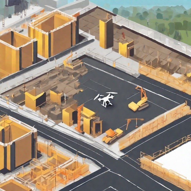
- 快速且安全地勘測和監測工地及周邊環境,特別是難以到達的位置和區域,可提供準確的地理數據和精細的影像資料,為工程的相關安排做好規劃提供實用的參考依據。
- 監察工程項目的狀況,通過無人機高空拍攝,可以實時拍攝和記錄工地的狀況,例如施工進度、材料消耗、安全隱患等,同時提高溝通和協作效率。
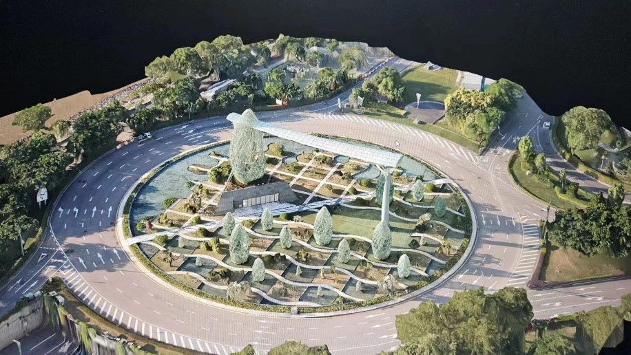
- 應用在土地測量、環境監察和災害評估等領域,提供寶貴的數據和洞察。
- 無人機影像所採集的數據,可應用於提供詳細的土地覆蓋資訊,以支持有效的土地利用規劃。
(2) 建築物、橋樑等基礎設施外觀檢查
- 無人機對建築物或橋樑等進行定期檢查已經成為建築和基礎設施管理的重要工具,使用無人機飛越建築物或橋樑的外部,可以捕捉高解析度的照片和視頻,檢查結構物的狀態,例如損壞、裂縫、腐蝕等。無人機可以到達難以到達的區域,對高空、危險和難以進入等位置進行檢測提供更全面和詳細的檢測結果,同時減少人工檢測所需的風險和成本。
- 無人機可以飛越道路,以高解析度的照片和視頻捕捉道路表面的狀態,特別是繁忙的道路。這些影像可以用於檢測道路表面的裂縫、坑洞、腐蝕和變形等缺陷。無人機可以在短時間內檢查大面積的道路,提供快速而詳細的檢測結果,幫助道路管理者及時進行維修和維護。
- 無人機可以飛越太陽能光伏系統,捕捉高解析度的照片和視頻。這些影像可以用於檢測光伏板及支架等的損壞、破損、腐蝕等問題。無人機可以快速且全面地檢查大面積的光伏系統,幫助太陽能系統維護人員及時發現和修復問題。
- 對於文物建築提供了一種高效、準確且非侵入性的檢測和監測方法,包括檢測結構裂縫、損壞、腐蝕等問題並及時進行維護。此外,無人機可以進行三維建模和數據重建,以創建文物建築的高精度數字模型。這些模型可以用於保存文物建築的歷史記錄,進行虛擬展示和數字保留。同時,這些模型還可以用於設計和規劃修復工作,提供更準確的參考和指導。
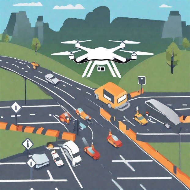
(3) 城市交通監測和流量管理
無人機可以用於監測交通流量和道路狀況。它們可以在空中快速移動,捕捉高解析度的影像和視頻,以提供即時的交通信息。這些數據可以用於交通管理中,如交通流量分析、道路網絡優化、信號控制等,幫助交通管理部門制定更有效的交通管理策略,以改善城市交通流動性。
(4) 無人機三維立體建模
無人機可以捕捉精確的影像,進行三維建模,這對於工程設計和空間分析非常重要,可以讓無人機掃描建築物、橋樑、道路等結構物的外形和細節,並生成精確的三維模型,這有助於進行設計、監測、維修和評估工作。